Slope map for Lapland and Norway
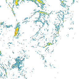
Ylläs slope map
Ylläs is a broad fell area in Lapland, where villages, ski areas, forests, open fells, and nearby national park terrain form a varied whole. Slope Hylly helps you review Ylläs steepness before planning a route or area in more detail.
Ylläs terrain steepness on the map
The Ylläs slope map helps show how fell slopes, valleys, and forested sections sit in relation to each other. On the map you can see where terrain stays gentler and where slopes become steeper.
Using the Ylläs slope map for route planning
Start by looking at the wider Ylläs terrain, then zoom to a trailhead, individual slope, or planned line. The shortest option is not always the easiest terrain, so compare nearby alternatives carefully.
Ylläs and avalanche terrain
Slope steepness matters in winter, but avalanche risk needs much more than a map. Check official avalanche bulletins, weather forecasts, snow conditions, and local observations. Use this map as one planning aid only.
The map does not replace local knowledge, official warnings, weather forecasts, avalanche bulletins, navigation, or professional judgment.
How to use the Ylläs slope map
Open the map, zoom to the area you are interested in, and compare several possible lines side by side. Look for places where the terrain becomes steeper quickly and where gentler alternatives might run.
Data sources
The map is based on open land survey data from the National Land Survey of Finland and the Norwegian Mapping Authority. It shows general terrain shape, not current snow, weather, or route conditions.
For Finnish areas, you can also use Hylly map and weather pages as part of your planning:
Open Ylläs on the map
Explore the slopes and terrain steepness around Ylläs with the Slope Hylly map. Use it for early comparison of areas and route options before more detailed planning.